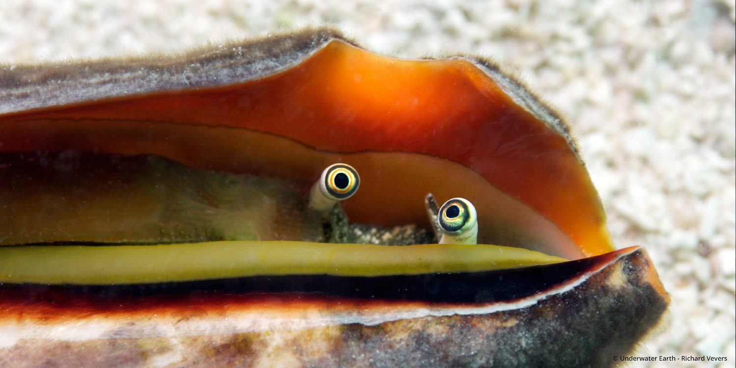
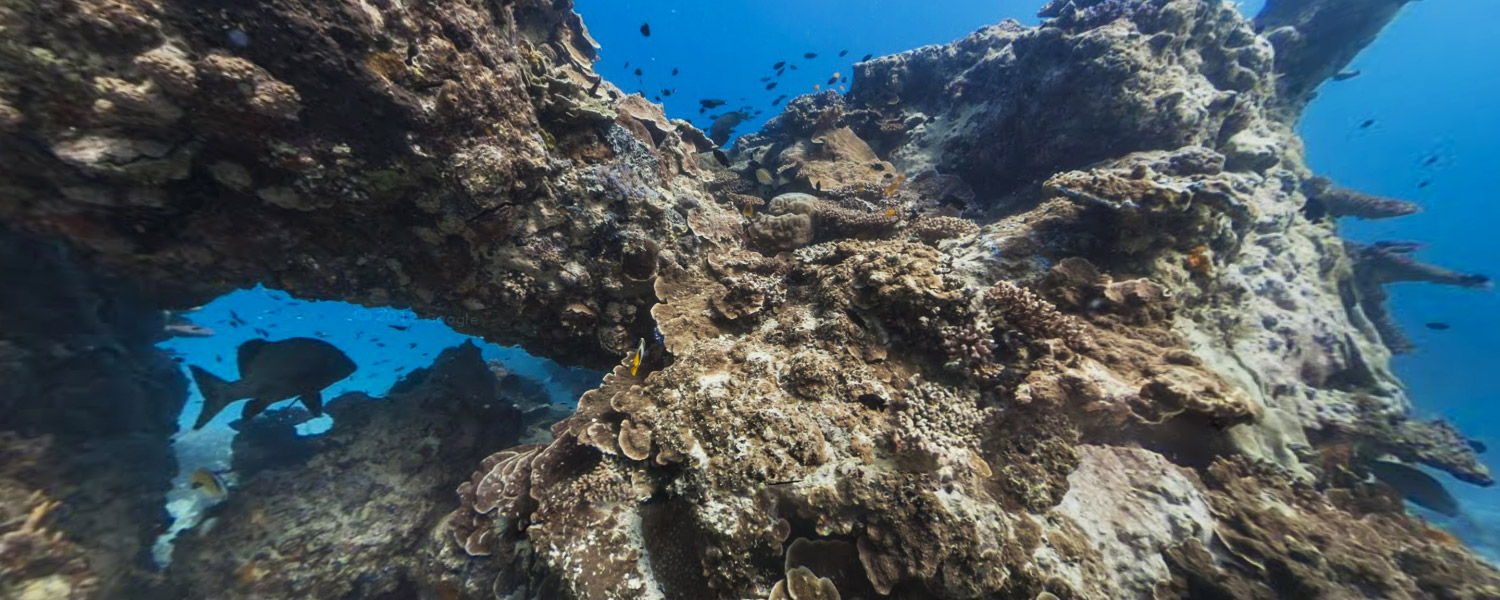
The Great Barrier Reef collection was part of the first group of underwater panoramic images added to Google Maps, the next step in our quest to provide people with the most comprehensive, accurate and usable map of the world. With these vibrant and stunning photos you don't have to be a scuba diver—or even know how to swim—to explore and experience six of the ocean's most incredible living coral reefs. Now, anyone can become the next virtual Jacques Cousteau and dive with sea turtles, fish and manta rays.
Starting today, you can use Google Maps to find a sea turtle swimming among a school of fish, follow a manta ray, and experience the reef at sunset. You can also find out much more about this reef via the World Wonders Project, a website that brings modern and ancient world heritage sites online.
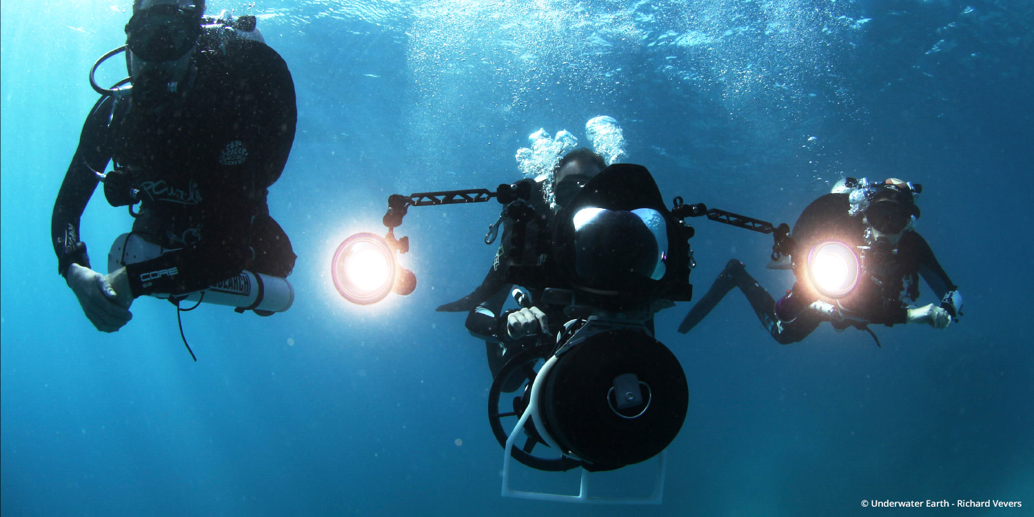
We partnered with The Catlin Seaview Survey, a major scientific study of the world's reefs, to make these amazing images available to millions of people through the Street View feature of Google Maps. The Catlin Seaview Survey used a specially designed underwater camera, the SVII, to capture these photos. Whether you're a marine biologist, an avid scuba diver or a landlocked landlubber, we encourage you to dive in and explore the ocean with Google Maps.
Read more